Wednesday, December 3, 2014

Node JS + Express + PostGIS + Leaflet - Second round

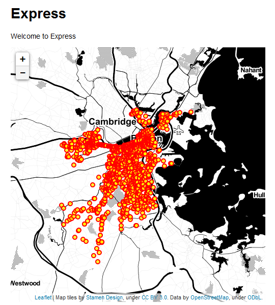
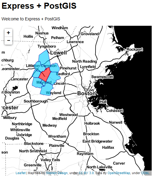
Ok, I am getting serious now! I was able to replicate what I have been done using cartodb and leaflet (https://github.com/gzambotti/cartodb_leaflet) but with my own PostGIS. The scope is to mimic what ESRI has been done with ArcGIS Server (http://developers.arcgis.com/javascript/samples/query_bypoly/) and its geoprocessing capability.
Basically a user can click on map to select a zipcode that intersects the map click and all zipcode that touch selected one; in other worlds getting all the adjacent zips. So, I am not there yet but very close. Happy coding for now...and soon I hope to make it live.

Cheers...

Thursday, October 30, 2014

Node JS + Express + PostGIS + Leaflet

After following an interesting workshop about mapping with Node JS, PostGIS and Leaflet I have got pretty excited, and so I have decided to spend some time with it. I have basically followed this tutorial (http://boomphisto.blogspot.com/2011/07/nodejs-express-leaflet-postgis-awesome.html) and after some issues I created my first map (bikes accident in Boston). Very important put your code before use the routes as suggested here (http://cwbuecheler.com/web/tutorials/2013/node-express-mongo/)


Tuesday, June 10, 2014

Extract an ArcGIS Server Services to a shapefile/feature class

  1. On the server side you have to use the query capability and retrieve all features in a JSON format. Try it using this link: http://www.geoportal.cl/ArcGIS/rest/services/MinisteriodeViviendayUrbanismo/chile_minvu_ddu_pri_Costero_Ohiggns/MapServer/0/query?text=&geometry=&geometryType=esriGeometryPolygon&inSR=&spatialRel=esriSpatialRelIntersects&relationParam=&objectIds=&where=OBJECTID++%3E+0&time=&returnCountOnly=false&returnIdsOnly=false&returnGeometry=true&maxAllowableOffset=&outSR=&outFields=&f=html As you can see from the form page to get all the features, I set the WHERE field to be OBJECTID > 0, and the Geometry Type to be a Polygon, the Return Field to * (so that I can get all attributes), and the format to be JSON file; then you can click the query button.
  2. Save out the JSON file you get on your browser, just right click on the browser and choose Save Page As
  3. Use the tool in ArcMap JSON to Features (http://resources.arcgis.com/en/help/main/10.2/index.html#//001200000057000000
  4. Convert the feature class into a shapefile

Tuesday, February 4, 2014

Python and edX

Last semester I have took "Introduction to Computer Science and Programming" at edX (https://www.edx.org/course/mitx/mitx-6-00-1x-introduction-computer-1498). A lot work but I have learned a lot about python.

Google Form to ArcGIS online + search