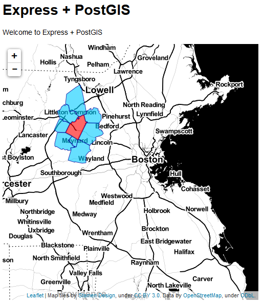
 Ok, I am getting serious now! I was able to replicate what I have been done using cartodb and leaflet (https://github.com/gzambotti/cartodb_leaflet) but with my own PostGIS. The scope is to mimic what ESRI has been done with ArcGIS Server (http://developers.arcgis.com/javascript/samples/query_bypoly/) and its geoprocessing capability.
Basically a user can click on map to select a zipcode that intersects the map click and all zipcode that touch selected one; in other worlds getting all the adjacent zips. So, I am not there yet but very close. Happy coding for now...and soon I hope to make it live.
Cheers...
No comments:
Post a Comment